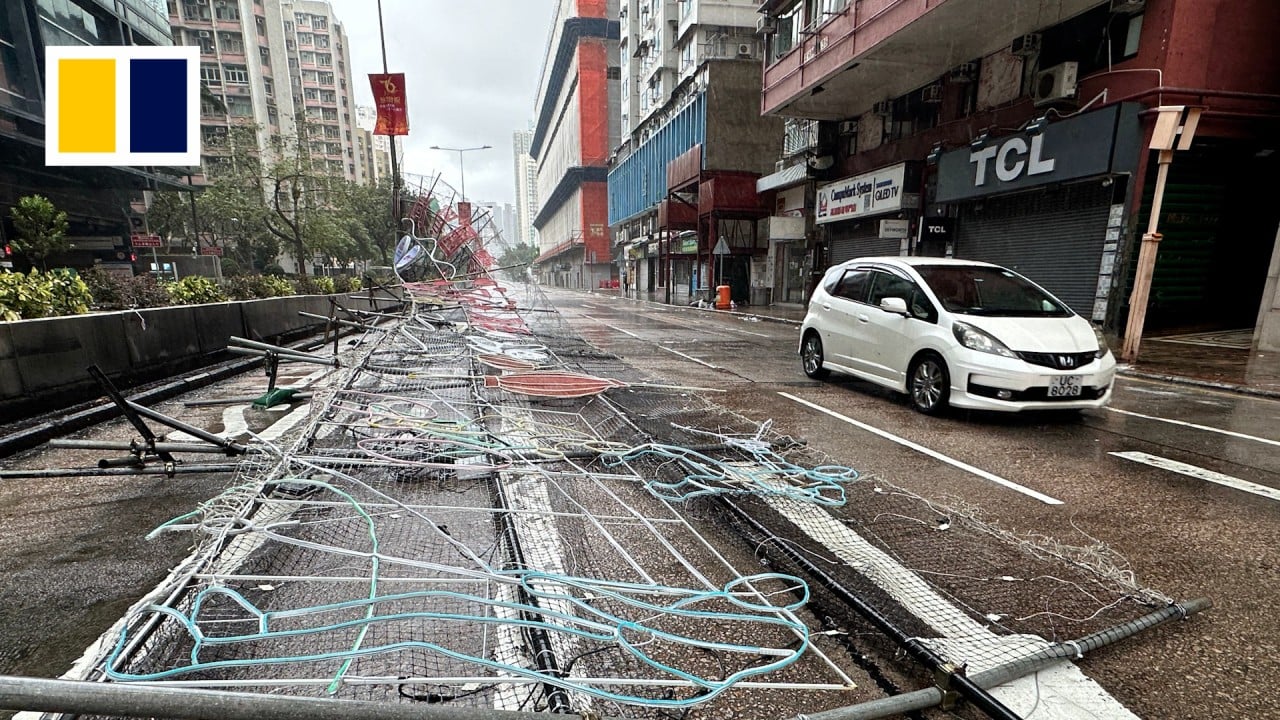
Super Typhoon Ragasa brings Hong Kong to a standstill – as it happened
This story has been made freely available as a public service to our readers. Please consider supporting SCMP’s journalism by subscribing now for 50 per cent off during our two-day flash sale. Hong Kong woke up to a storm that triggered the highest-level No 10 warning, which shut down the city, as Super Typhoon Ragasa…
Hong Kong woke up to a storm that triggered the highest-level No 10 warning, which shut down the city, as Super Typhoon Ragasa edged as close as 100km (62 miles) south of the city.
The Hong Kong Observatory issued the T10 signal at 2.40am on Wednesday before lowering it to T8 at 1.20pm. The No 8 warning was downgraded to No 3 at 8.20pm.
At 3.20pm, the forecaster downgraded Ragasa from a super typhoon to a severe typhoon. The typhoon registered maximum sustained winds of 175 km/h near the centre.
The forecaster also issued the amber rainstorm warning signal at 3.20pm.
The Airport Authority has said some incoming flights will resume after midnight.
The weather deteriorated rapidly overnight, with winds strengthening quickly and reaching hurricane force offshore and on high ground at first.
Even with T8 in force, the Observatory has warned of frequent heavy squally showers, large waves crashing along the shoreline, and a significant rise in water levels. It has urged residents to stay indoors.
Pre-emptive preparations were put in place across the city in response to the super typhoon, with about 600 flights cancelled on Tuesday and limited cargo freight operating on Wednesday. All classes have been suspended for two days since Tuesday.
Reporting by Oscar Liu, Lo Hoi-ying, Danny Mok, Jeffie Lam, Wynna Wong, Ambrose Li, Fiona Sun, Matthew Cheng, Leopold Chen and Denise Tsang
More from our coverage:


